
Description
02
Intro
Moderately difficult winter hike from Galtür to Wirl
Description
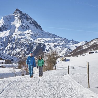
The winter hiking trail between Galtür and Wirl is 4 km long with gentle inclines, requiring moderate fitness. Starting at Galtür's football pitch, the path follows the Vermunt stream flatly until reaching the valley station of the Birkhahnbahn in Wirl. Enjoy the snowy landscape in Galtür, the highest village in Paznaun, surrounded by the towering peaks of the Silvretta range. This hike is especially recommended on Wednesday evenings when the Silvapark is illuminated by the lights of night skiing.
Arrival
The autoroute (A12 (westbound) or A14 (eastbound)) leads you to the Arlbergschnellstraße (S 16). At the exit for Pians, turn onto the Paznauntalstraße (B 188) and follow its course into the Paznaun.
Parking
Car park Arzthaus Galtür
Public transport
With the railway station in Landeck, the Paznaun is optimally connected to the Austrian train network. From Landeck-Zams station, only a short bus ride separates you from the Paznaun. Every half hour, line bus 260 runs from there through the valley. Bus stop: Galtür Dorfplatz


