
Description
02
Description
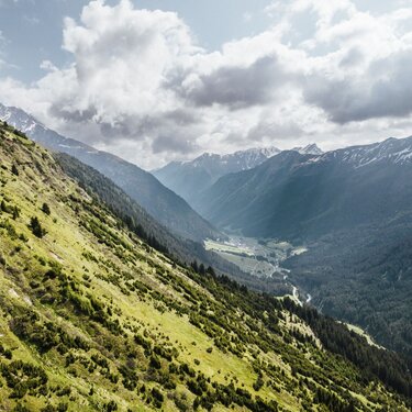
The tour starts atthe „Mathon West” bus stop. From there it crosses the Trisanna in the direction of Berglisee. The trail leads through wooded terrain up about 600 mettres in altitude to Innerbergli. From here continue eastwards on part ofthe Paznaun Höhenweg. Above the forest line, the mountain trailleads over the Außerbergli up to the Rauher Kopf (2,478 m). The descent is via the Tschamatschkopf (2,145 m) in the direction of Ischgl. Through the Fimbatal valley you finally reach the end point ofthe route, the valley station of the Silvrettabahn cable car.
Arrival
The autoroute (A12 (westbound) or A14 (eastbound)) leads you to the Arlbergschnellstraße (S 16). At the exit for Pians, turn onto the Paznauntalstraße (B 188) and follow its course into the Paznaun.
Parking
Parking lot in Mathon.
Public transport
With the railway station in Landeck, the Paznaun is optimally connected to the Austrian train network. From Landeck-Zams station, only a short bus ride separates you from the Paznaun. Every half hour, line bus 260 runs from there through the valley. Bus stop: Mathon West


