
Description
02
Intro
Medium-difficulty circular hike Panorama path
Description
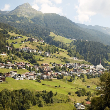
Starting from the village square in Kappl the route follows, as outlined in tour K.2, to Rotweg chapel. From the chapel continue on the forest road up to the sign for the panorama path. Here you get to a forest road via a marked and in part steep forest trail, which takes you to the branch-off for Grübelesee and Labebene. Continue along trail no. 15, follow the signs for Kappl. This beautifully located footpath takes you down to the high school. Here you continue into the valley until the Kohlplatz bridge, which you cross, and follow the signposts for Kappl. The panorama path stands out mainly for the wonderful view to the sunny side of Kappl and on hot summer days also provides lovely shaded spots in the forest.
Arrival
Parking
Public transport
With the railway station in Landeck, the Paznaun is optimally connected to the Austrian train network. From Landeck-Zams station, only a short bus ride separates you from the Paznaun. Every half hour, line bus 260 runs from there through the valley.
Bus stop: Kappl Dorf
Buses in the Paznaun valley | Region Paznaun – Ischgl
Tour type


